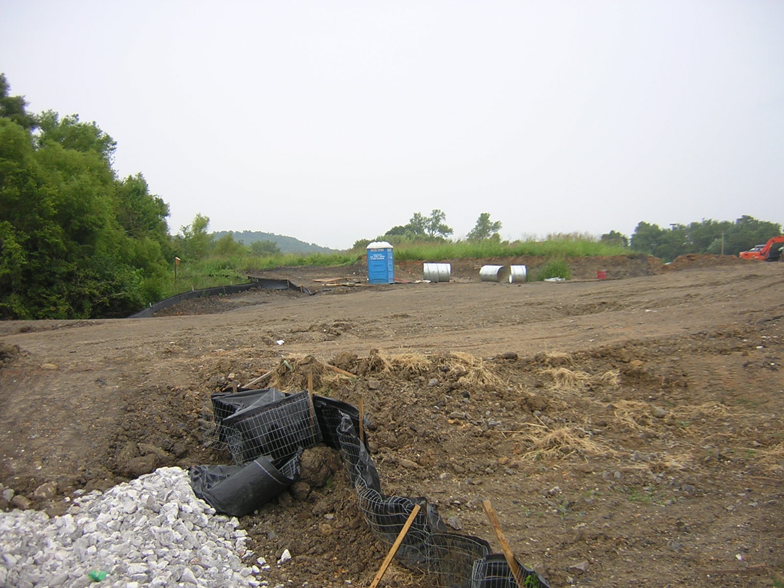
Please click on individual images to enlarge view of project in progress on Aug. 20, 2004, and rest showing how complex looks after willow-shaded stream routed through buried pipe under pavement for roadway on February 21, 2011. Parts of the stream are surrounded by privacy fence. U.S. Corps of Engineers required protection of that remnant of the "swampy" stream corridor. Water collected from the apartment roofs and parking lots flows south through the pipe under the Baum Stadium parking lot and under ball field to a detention pond visible but now fenced off from 15th Street and Razorback Road. The flow from the detention pond south and is again a stream whose reparian area has been narrowed as a hotel and restaurants were constructed on the stream's west side south of 15th Street. At the northwest end of the apartment complex, a portion of the stream is protected west and north of the Revenue office next to the east-west rail spur. A small part of the original wetland complex is visible on the west side of Razorback Road immediately north of the railroad. Water there comes from around MLK Jr. Boulevard and a portion of the land to its north.
Water that formerly was soaked up by the prairie and savanna vegetation in that area now rushes downstream to join the west arm of the Town Branch that mostly comes from near the Walmart and portions of the I-540 corridor and it all joins Cato Springs Branch at Great House Park. That combined water joins the main Town Branch flowing from the UA football and basketball complex and Markham Hill a couple of hundred yards west of S. School Street. The combined Town Branch blasts its way to the West Fork of White River during heavy rain and is a major urban source of pollutants entering Beaver Lake.


Water that formerly was soaked up by the prairie and savanna vegetation in that area now rushes downstream to join the west arm of the Town Branch that mostly comes from near the Walmart and portions of the I-540 corridor and it all joins Cato Springs Branch at Great House Park. That combined water joins the main Town Branch flowing from the UA football and basketball complex and Markham Hill a couple of hundred yards west of S. School Street. The combined Town Branch blasts its way to the West Fork of White River during heavy rain and is a major urban source of pollutants entering Beaver Lake.


No comments:
Post a Comment