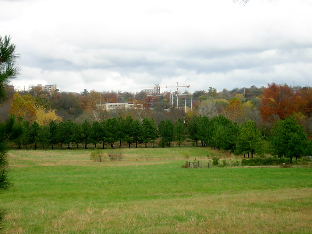
PLEASE CLICK TO ENLARGE image 2061, oleMainFrSo, which shows Pinnacle Prairie from the south with Ole Main and the University of Arkansas campus in the background. The land to the right of the row of pines became known as World Peace Wetland Prairie on Earth Day 2005 and is a nature park of the city of Fayetteville, Arkansas. The land behind the row of pines in the center of the photo became known as phase two of Aspen Ridge. An old plat was still on record at the county archive, so Fayetteville was obliged to allow the developers of Aspen Ridge to dig out a route for an unbuilt platted portion of Brooks Avenue through the pines and southward past the small willows in the center of the photo. That street base was also dug out to the right to connect to 12th Street, represented in the photo by the fence posts at the center right of the photo. At the time the photo was made, Pinnacle Prairie had all been mowed down. Native plants were suppressed by the frequent mowing at that time.
Earlier photos on this blogspot show recent photos of Pinnacle Prairie and the dug-out roadbed created by the developers of Aspen Ridge.


No comments:
Post a Comment